x
Equal Earth • Political Wall Map
Get the free map—pick a central meridian and language
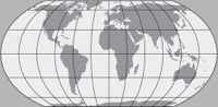
Greenwich Meridian
(0)
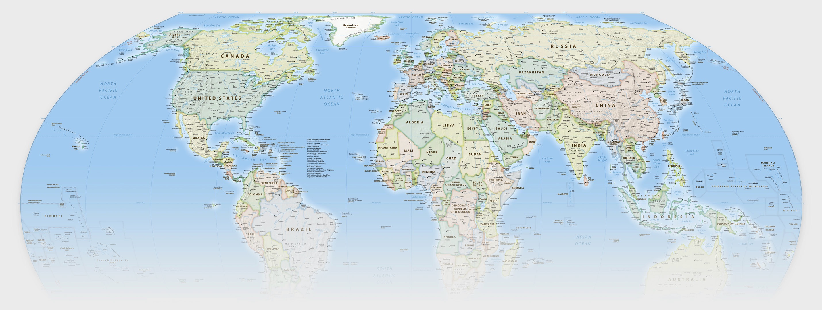
A world map for everyone
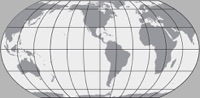
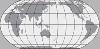
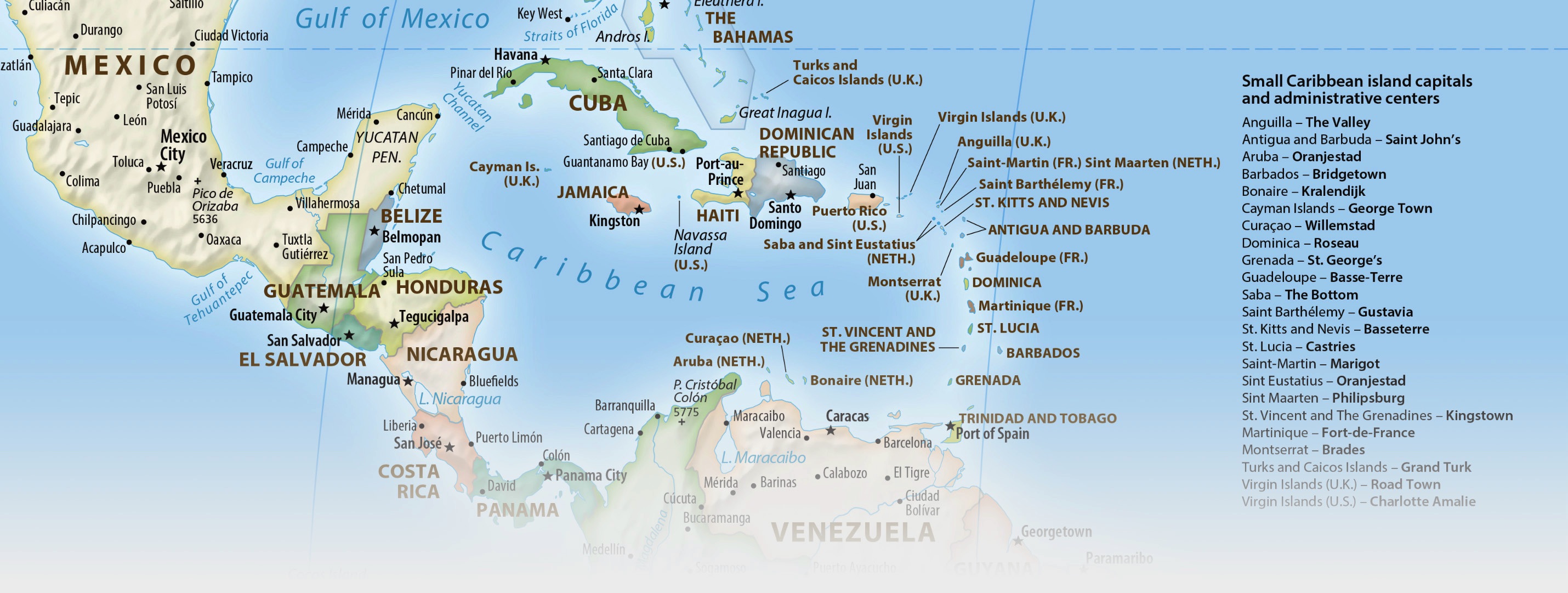
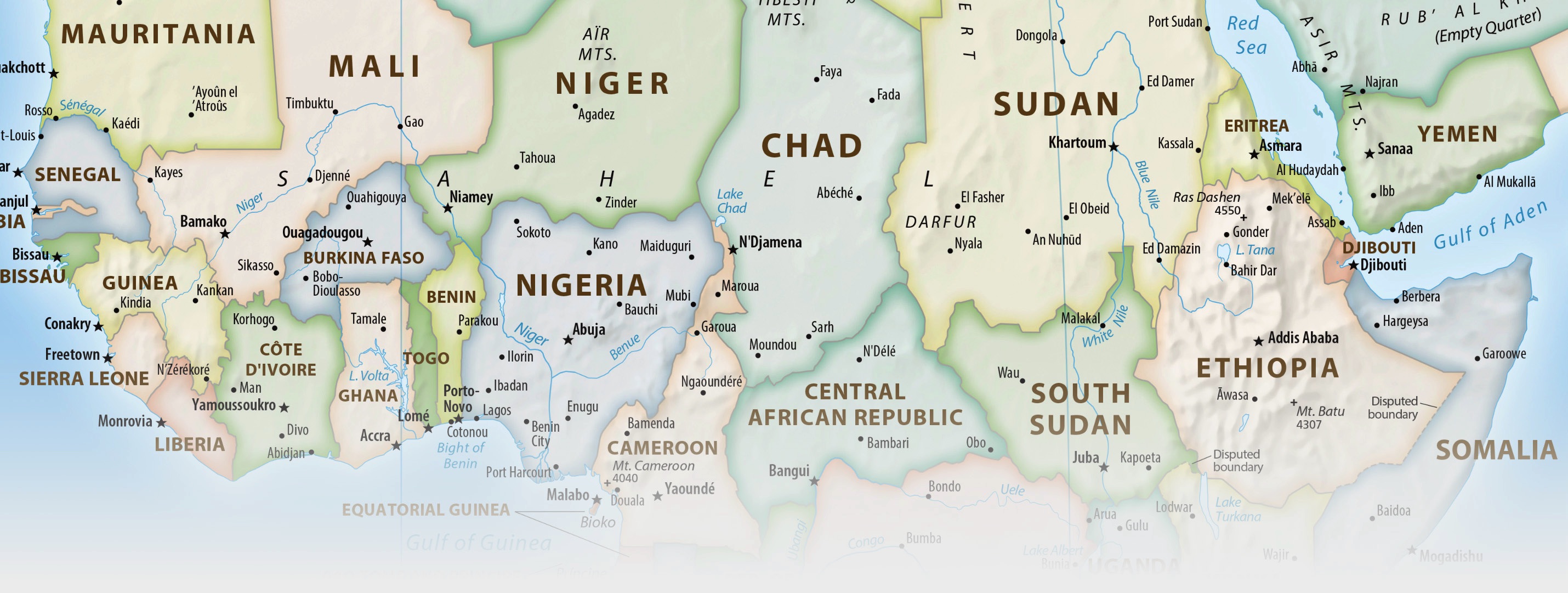
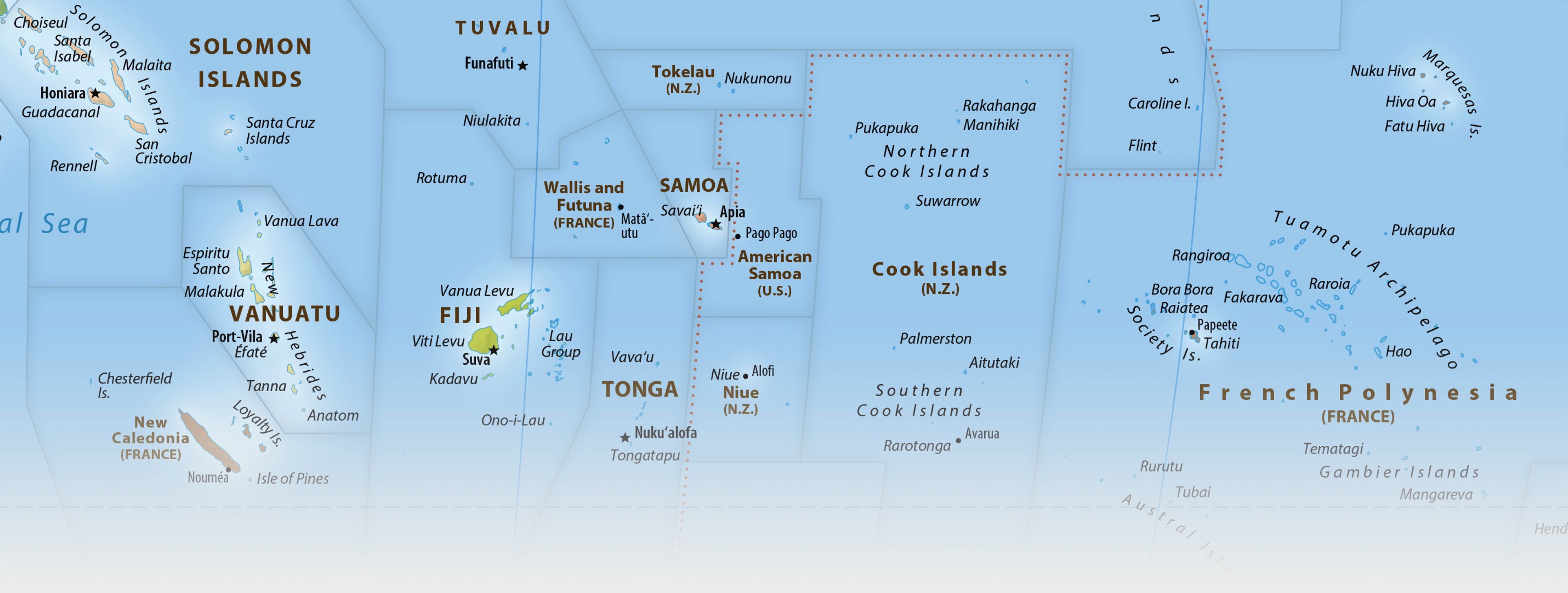
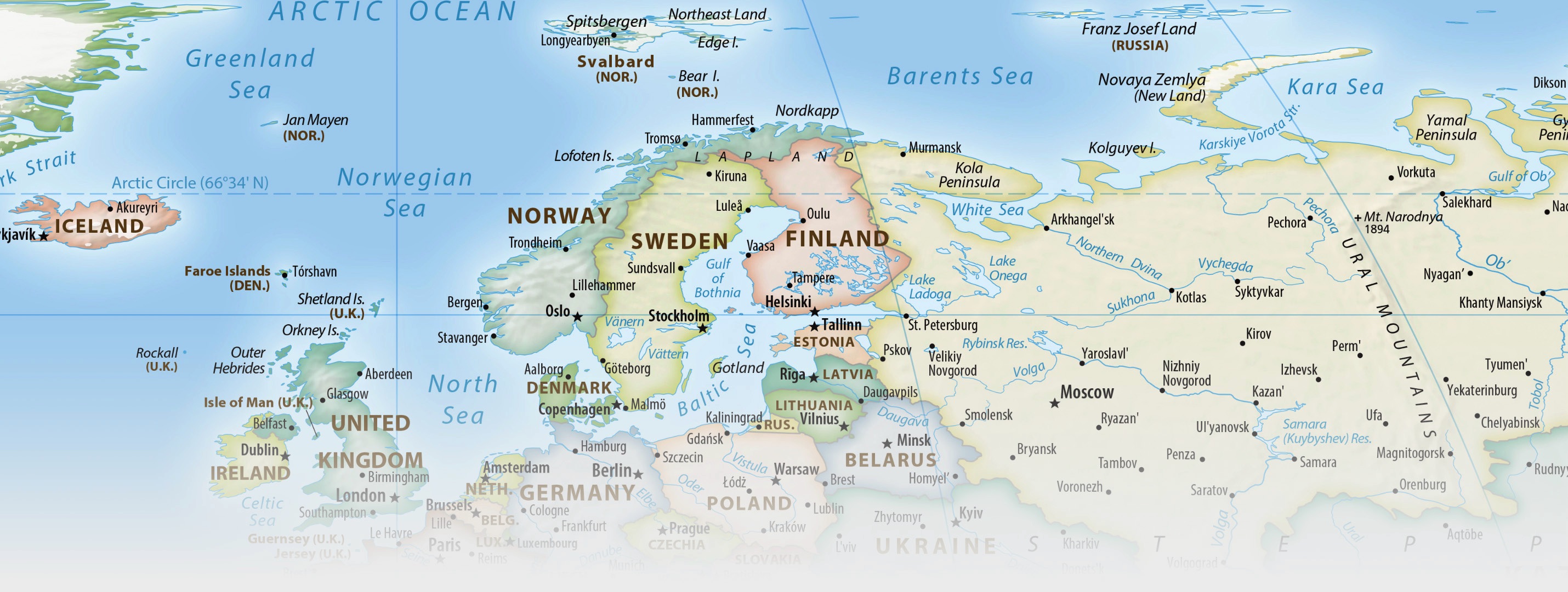
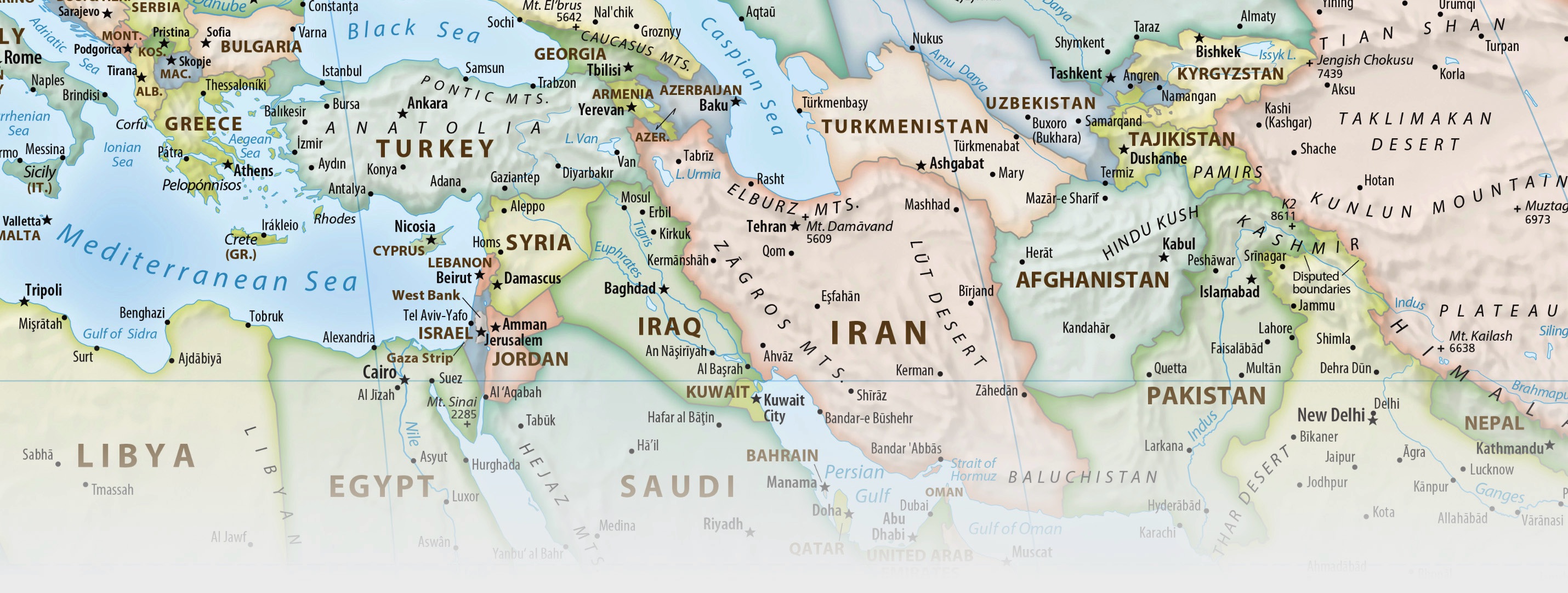
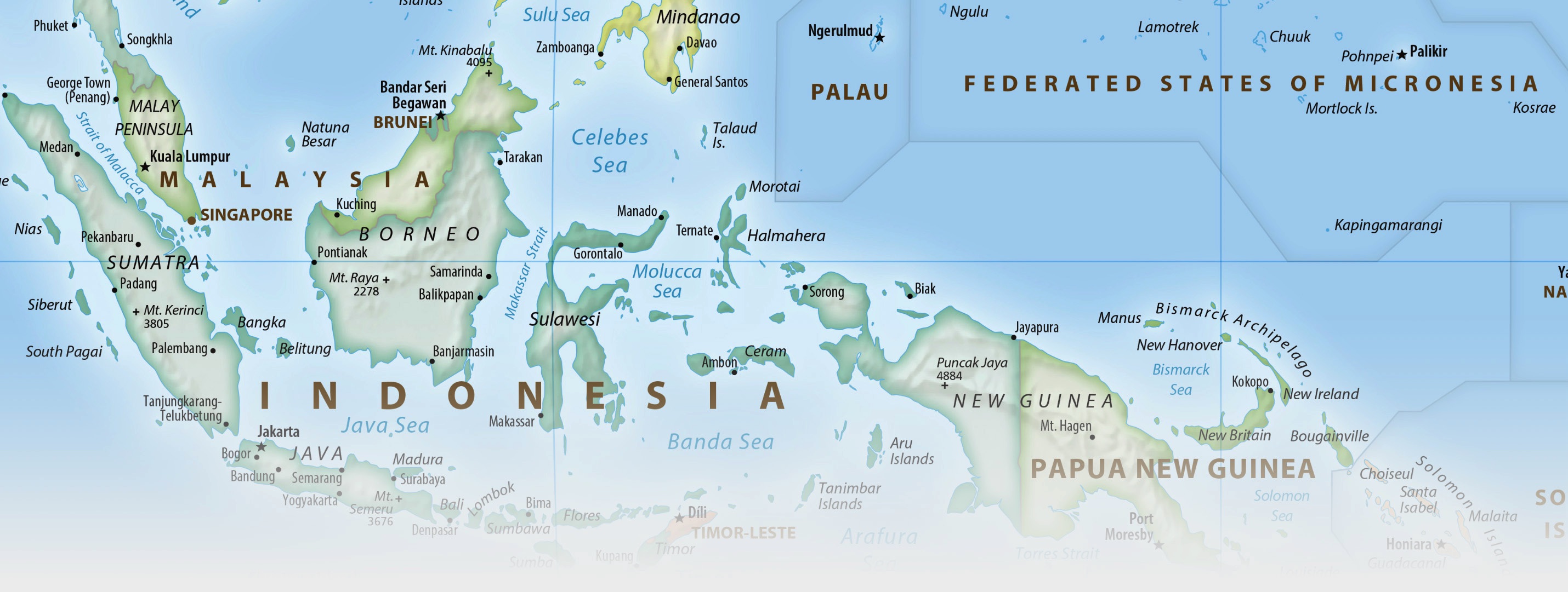
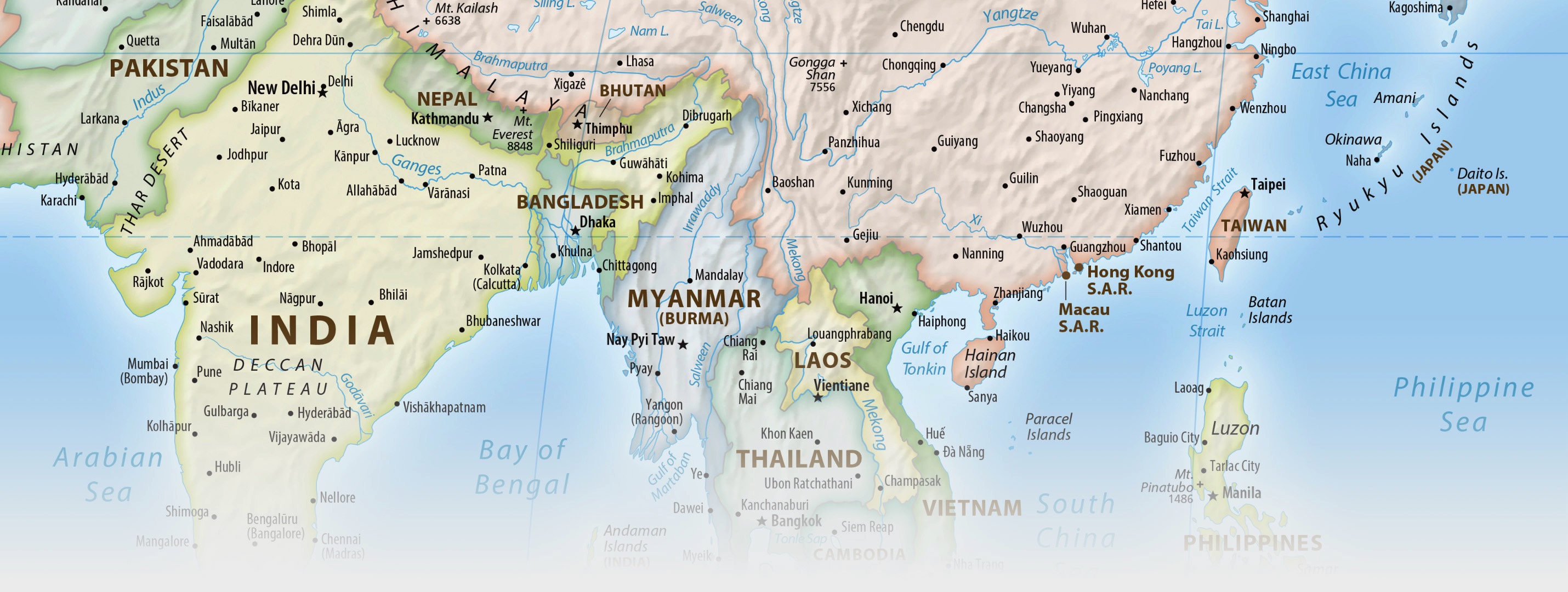
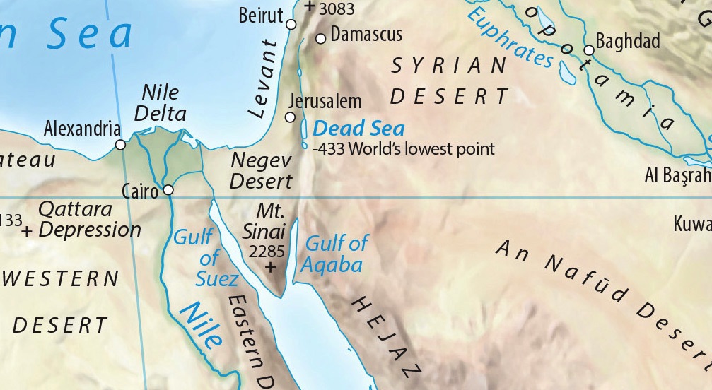
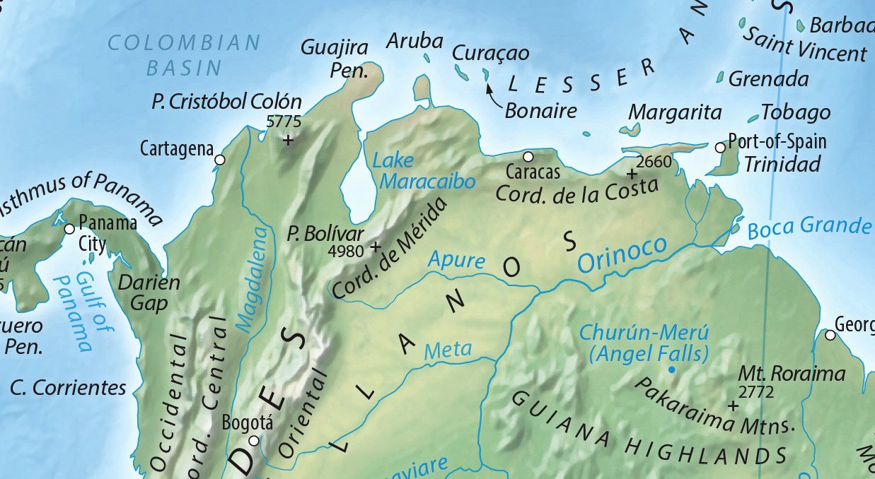
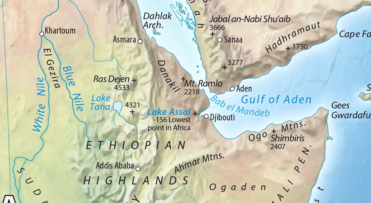
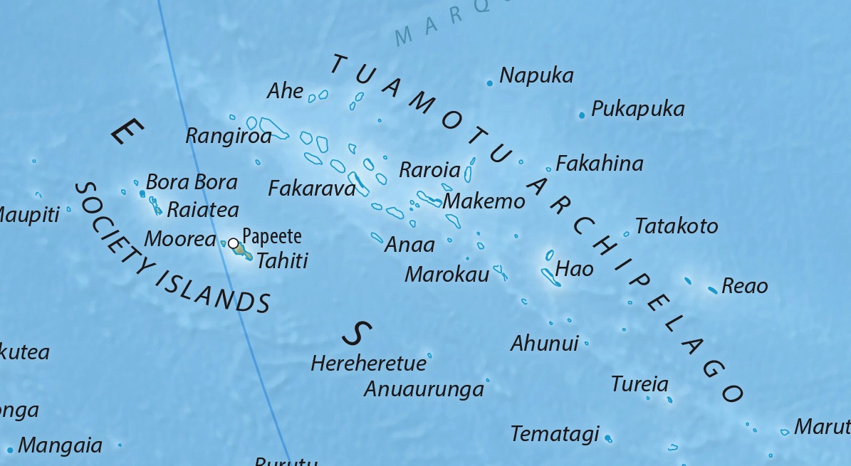
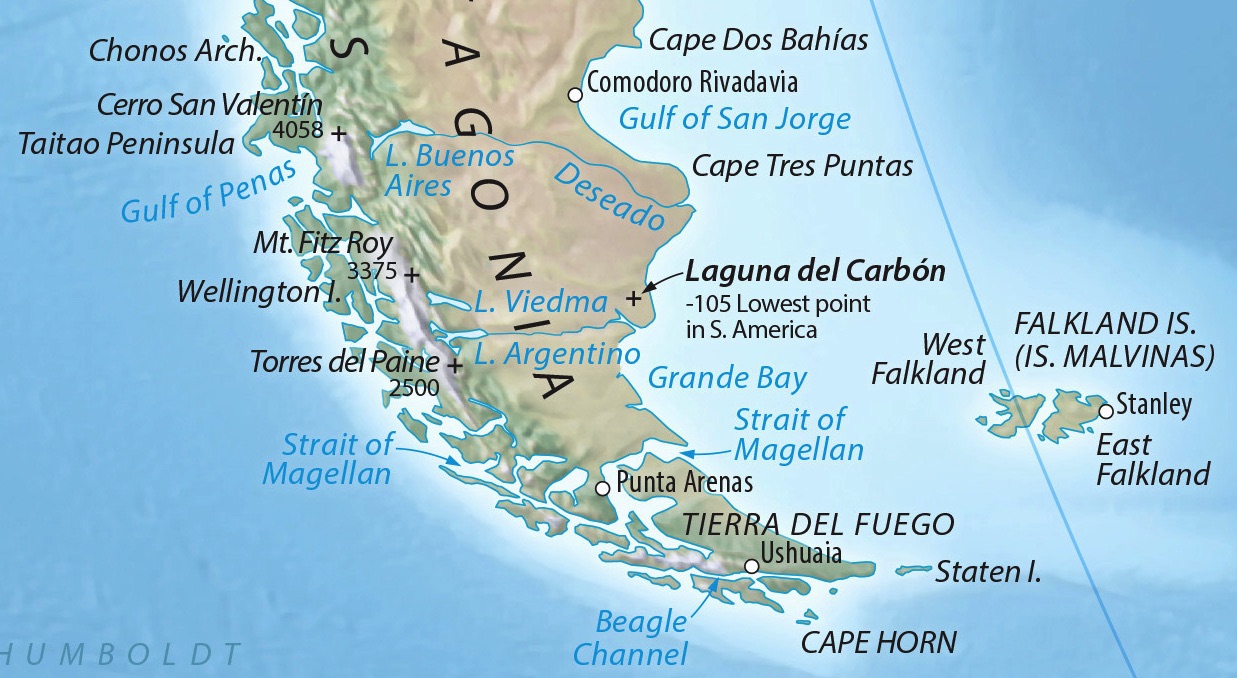
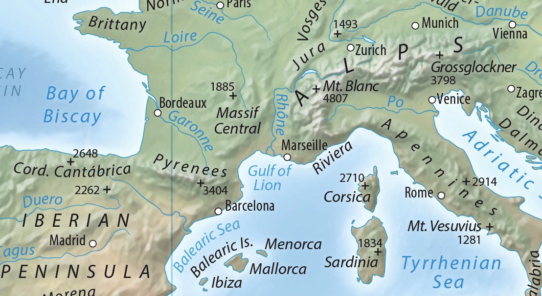
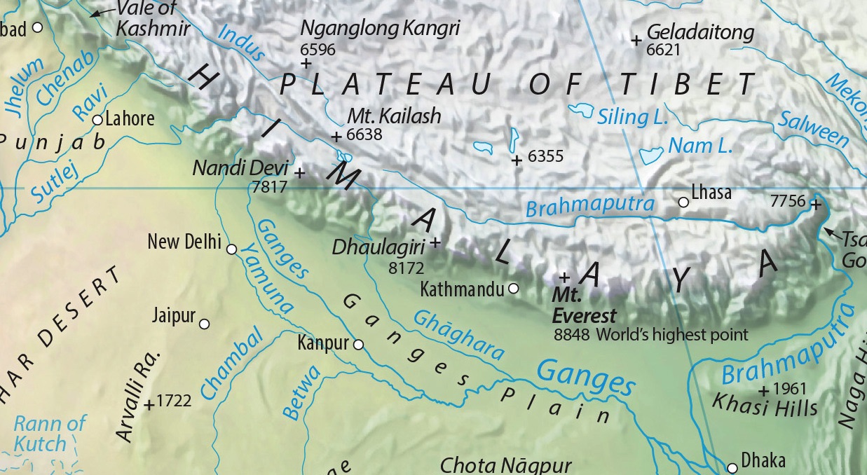
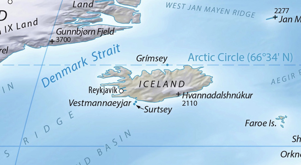
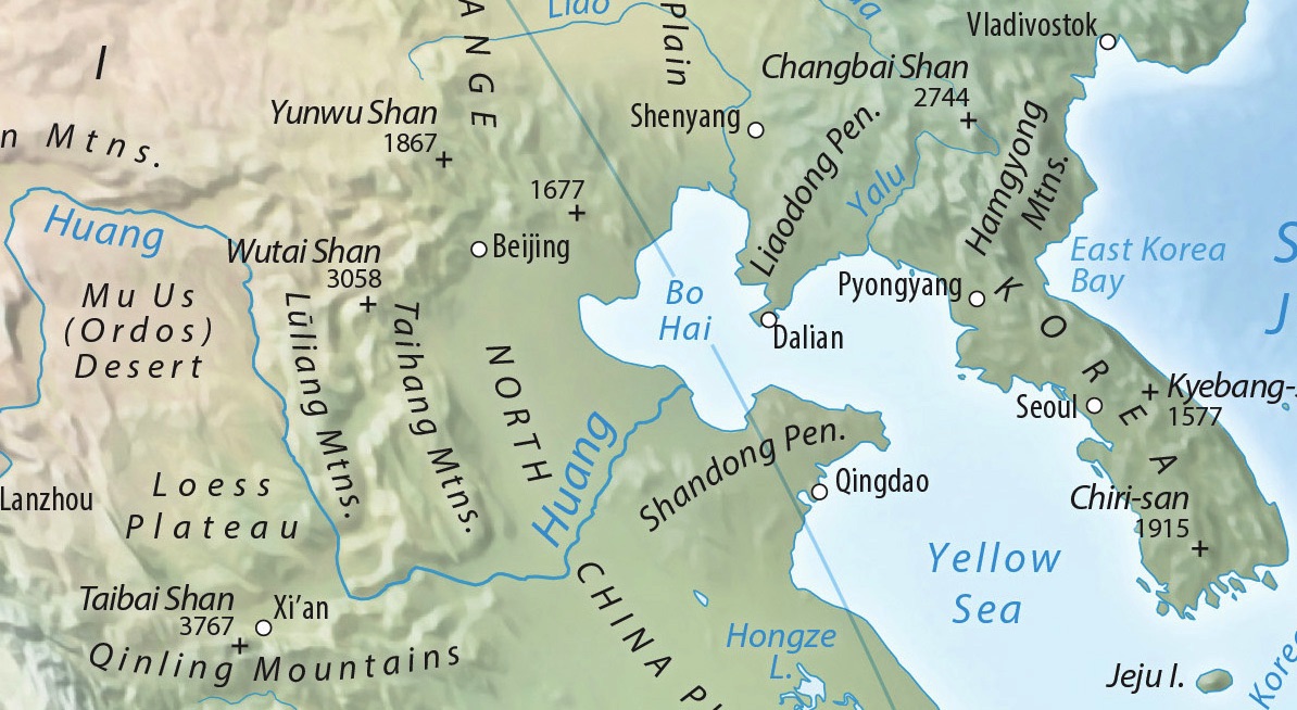
The Equal Earth Wall Map is for schools, organizations, or anyone who needs a map showing countries and continents at their true sizes relative to each other. Africa appears 14 times larger than Greenland as it actually is. And wherever you live, the map has you covered. Download a choice of three versions centered on these regions: Africa/Europe, the Americas, and East Asia/Australia.
Other features include:
• It’s free. Download the map and print as many copies as you want.
• It’s big. The map measures 55” wide x 29” tall (1.4 x 0.74 meters). You can print it even larger thanks to the very high resolution.
• Just enough detail. The 2,600+ map labels provide geographic context without overwhelming you with too much information.
• Professional design. With pleasing colors, readable type, and clear visual hierarchies, this is a map that you will want to look at.
The Americas (90W)
E. Asia and Australia (150E)
RGB JPEG image, 55 x 29 inches, 350 DPI, 25.4 MB
RGB JPEG image, 55 x 29 inches, 350 DPI, 25.4 MB
RGB JPEG image, 55 x 29 inches, 350 DPI, 25.4 MB
Terms of use
The Equal Earth Wall Map is in the public domain. You may use the map any way you like, including modifying the content, reproducing it on any type of media, and selling it for profit. Consider it as yours.
By downloading and using this map you agree that the map author (Tom Patterson) is not legally responsible for any errors that the map may contain. You are solely responsible for all problems that may arise from reuse of the map and its redistribution to third parties. Tom Patterson does not endorse the individuals or organizations that may use the map, nor does he endorse their positions on various issues.
Printing tips
Print the map on a large-format plotter loaded with a paper roll 36-inches wide. This size will leave ample margins around the map for trimming. You can print the map considerably larger or smaller depending on your available wall space. If you don’t have a large-format plotter, bring the downloaded map on a thumb drive to a print shop, or have them download it for you.
Printing on photo satin (semi-gloss) paper with light-fast dyes that resist fading will produce the best results.
Colors can vary greatly depending on the equipment used to print the map. I recommend printing a small sample first as a test before committing to a more expensive full-size print. Users experienced with Adobe Photoshop can lighten, darken, or adjust the map colors as desired.
Contact me
Are you fluent in a language besides English? Please email me about volunteering to translate Equal Earth into even more languages. I also welcome your suggestions on how to improve the map. Thanks!
Tom Patterson Bio
Last update: Version 1.3, March 18, 2024 Change Log
Adobe Illustrator CC files
Use these layered files with MAPublisher georeferencing to modify the map, translate it to other languages, and for offset printing. The shaded relief art is included.
Watch Tom and Bojan introduce Equal Earth at the 2018 NACIS conference.
New! Equal Earth Physical Map—get it here
A companion piece for the political map, this wall map focuses on the natural world, including terrain, rivers, land cover, the ocean floor, and more. It is free of charge.
Traditional characters
Standard boundaries
Simplified characters
PRC boundaries
With Palestine
labelled
With Israel
labelled
Standard
boundaries
India
boundaries
Florence Meridian
(11E)
RGB JPEG image, 55 x 29 inches, 350 DPI, 25.4 MB
Outline Maps
Centered on Greenwich (0)
Centered on Florence (11E)
With Palestine
labelled
With Israel
labelled
Click map to enlarge