Made entirely with public domain data
Leo Dillon, Martin Gamache, Alex Tait, and Scott Zillmer provided invaluable cartographic advice. The following translators generously volunteered their time: Département de Géomatique du Cégep Limoilou (French); Hans van der Maarel, Red Geographics (Dutch); and, Nick Doiron, Satoshi Iida, and Takashi Kinoshita (Japanese); Kacper Jankowski (Polish); Sasha Trubetsky (Russian); Ibrahim Mohammed and Nick Doiron (Arabic); Dante Bisutti (Italian); Raf Roset (Catalan); Spyridon Staridas (Greek); and Dennis McClendon and Pedro Zurita-Zaragoza (Spanish); Gordon Kennedy (Finnish); Richard Kovacik (Slovakian); and Simon Scherrer (German). Thanks to all!
Tom Patterson
January 24, 2022
Data Sources
The Equal Earth Wall Map is made up of point, line, and area features, plus labels, that derive from the following public domain sources.
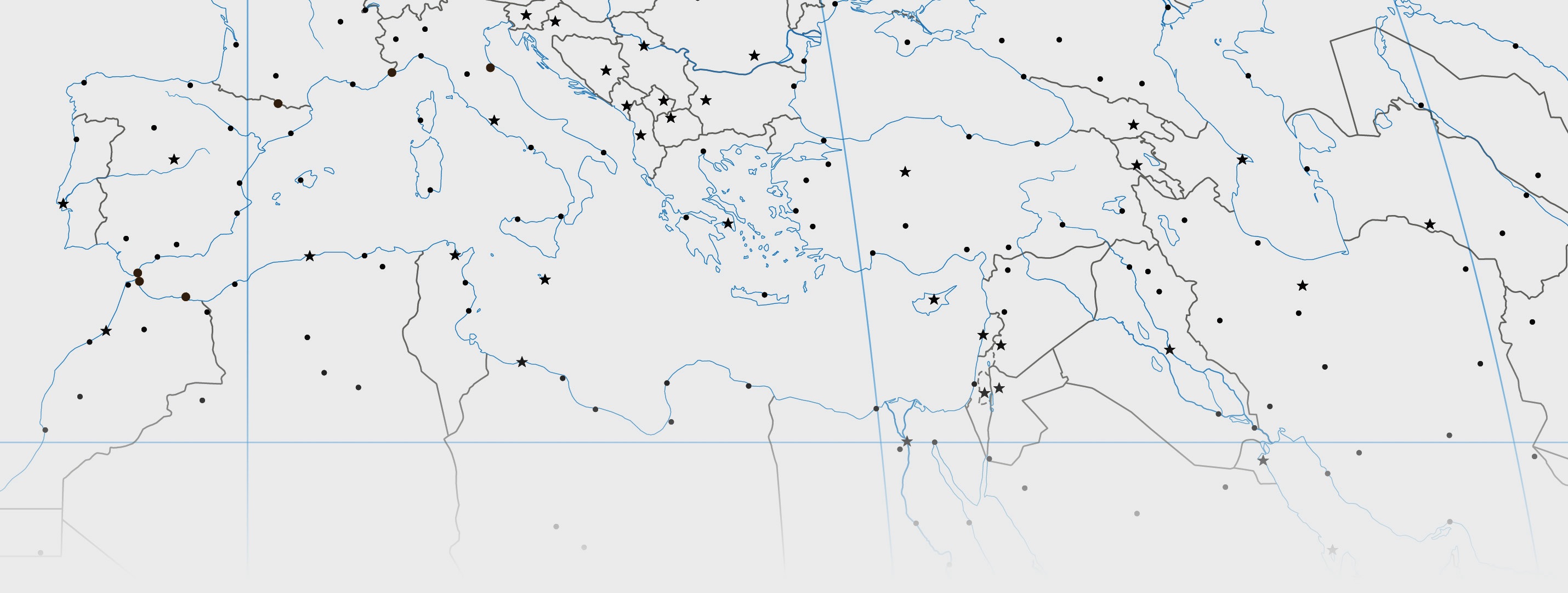
Vector base map
Natural Earth 1:50 million vector data are the primary source of coastlines, rivers, lakes, glaciers, ice shelves, mountain peaks, country boundaries, graticule, geographic lines, and populated places. The bounding lines around scattered island groups are on the map for clarity. They are not actual maritime boundaries. The International Date Line as it jogs around Pacific island nations also follows these arbitrary bounding lines.
Shaded relief
The Manual Shaded Relief of the World, which fits to the 1:50 million vector data described above, was also obtained from the Natural Earth website. To learn more about the shaded relief go here.
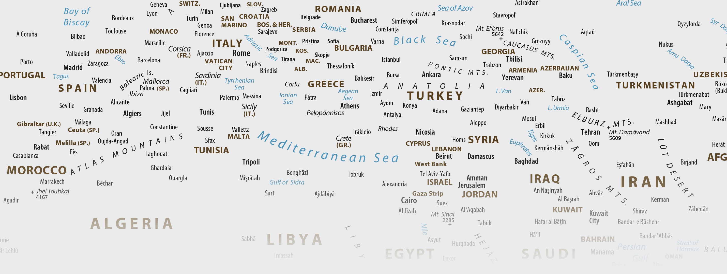
Place names
The CIA World Political Map at 1:35,000,000-scale was the primary reference for place names, including country names, capitals, sea and ocean labels, and disputed area notes. I supplemented the CIA map labels with additional populated places and river names from Natural Earth.
The GEOnet Names Server operated by the National Geospatial-Intelligence Agency was the source for place name spellings. The map offers a mix of “conventional” and “approved” spellings recommended by GEOnet. I favored the use of conventional spellings for well-known places, such as the English “Rome” instead of the Italian “Roma.” The GEOnet Names Server recommends the accent marks used on some place names, such as those in India.
Pop quiz: What do the words dao, kepulauan, ostrov, and shima have in common? Answer: They are all words for “island” in their respective languages, Chinese, Bahasa Indonesia, Russian, and Japanese. Because these words are unfamiliar to many readers, I identify islands in English. I also use English place name descriptors for other physical labels. For example, Poluostrov Kamchatka appears on the map as Kamchatka Peninsula. Going one step further, river names do not use the descriptor “River.” The “Nile River” is labeled simply as “Nile” and shown in blue.
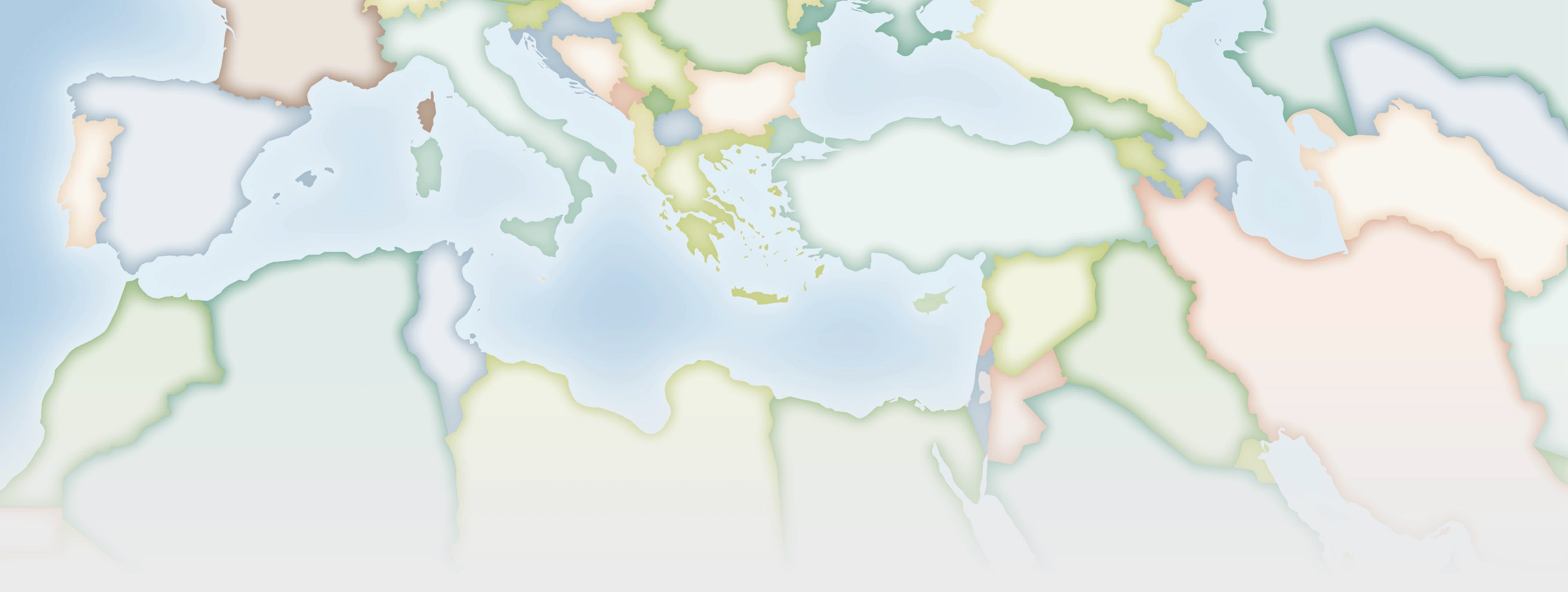
Countries and capitals
The countries and country capitals depicted on this map are mostly the same as those on US government maps. Exceptions include Myanmar (Burma) and its capital, Nay Pyi Taw; Taiwan and its capital Taipei; Western Sahara is shown occupied by Morocco; Russian occupied Crimea is shown in neutral gray; the de facto border between Kenya and S. Sudan in the Ilemi Triangle is shown; and, in Kashmir, de facto boundaries are shown between China, India, and Pakistan. Similar treatments are commonplace on maps made by non-governmental map publishers in the US.
Some countries have multiple capitals, such as Bolivia, Netherlands, South Africa, and Tanzania. This map, however, shows only the primary capital in these countries following the example of US government maps.
Dependencies and areas of special sovereignty
Obtained from a fact sheet maintained by the US Department of State, Bureau of Intelligence and Research.
Miscellaneous
Wikipedia was the source of mountain elevations.
The map font is Myriad Pro in various styles.